From spring to fall, field work amounts to a sizeable proportion of what we do in the Great Lakes Food Webs laboratory at Fisheries and Oceans Canada (DFO). On-going research and monitoring programs, like the binational Cooperative Science and Monitoring Initiative (CSMI) and Hamilton Harbour Area of Concern (AOC) lower trophic assessment project, require fieldwork data collection monthly during this period. Of course, our field work does not involve working in an actual field, but on the water in Hamilton Harbour, western Lake Ontario, or any of the other Great Lakes (depending on the research focus of the CSMI in any given year). While field sampling that is executed for monthly programs (i.e., in AOC) is simple compared to larger campaigns, there’s more than meets the eye when fieldwork planning, resource management and coordination, and equipment preparation are considered. In this blog post, I will aim to showcase what a typical field work event entails, from preparation, to executing the work on our research vessels and retrieving data.

Most of our field sampling is conducted on smaller vessels operated by DFO’s Great Lakes Laboratory for Fisheries and Aquatic Sciences (GLLFAS)—the larger research branch that our lab belongs to. For more extensive field campaigns, like the CSMI, we typically use larger research vessels operated by the Canadian Coast Guard. A previous blog post, Zig-Zagging Through Lake Erie: A CSMI Expedition on the Limnos, provides further insight into these expeditions. Whether we’re using a small vessel, like the R.V. Cisco, or a larger ship, like the CCGS Limnos, careful planning is essential to avoid scheduling conflicts with other research teams sharing these resources. For the CCGS Limnos, scheduling must be finalized months ahead because its time is highly sought after. Scheduling the Limnos is usually done in the winter, when it’s docked in front of the Canada Centre for Inland Waters (CCIW) and involves other government agencies like Environment and Climate Change Canada (ECCC) and the Canadian Coast Guard (CCG). In contrast, the process for securing the R.V. Cisco, used exclusively by GLLFAS staff, is much less cumbersome and is typically arranged with the vessel master two to three weeks before the desired field work. If the R.V. Cisco is unavailable, we also have access to smaller research boats like our 24-foot work boat, the R.V. Jen Young, for shorter sampling events

During this time, it is imperative to also track the weather and monitor the wind forecast to ensure the timeframe selected for sampling remains safe to do so. Unlike land-based field work where precipitation or temperature are often deciding factors for the style or timing of work, working on the water means we need to understand the direction and speed that the wind is travelling to better predict the size of the waves. The direction that the wind moves, and its speed are important factors in describing wind fetch, which is defined as the distance over water in which wind can freely blow without obstruction. The wind fetch and size of waves are closely related, and both can be determined through online wind forecasting tools. Weather forecasts and wind models, therefore, play a very important role in the selection of an appropriate day to conduct fieldwork.

After field work has been scheduled, it is time to plan and coordinate it. Our team holds regular lab meetings to manage resources and determine an appropriate plan of action for delegating tasks. As an Aquatic Science Technician, for example, I often alternate between performing work in the field, in the laboratory, or office, depending on where I am most needed that day. To ensure the quality of data collected, field work is usually structured in a way that allows for primary productivity and bacterial growth rate assays to be performed on the same day as sampling for Hamilton Harbour AOC and western Lake Ontario monitoring. This involves aligning duties to ensure seamless coordination between field and lab staff, because each may require a full day’s work, so that samples can be processed and analyzed in a timely manner.
Several days leading up to the planned field work, sampling equipment is prepared. The Great Lakes Food Webs lab uses a combination of multi-parameter sensors that collect data on water clarity, dissolved oxygen concentration, temperature, conductivity, and light attenuation (photosynthetic active radiation [PAR]), at each station that we monitor and sample to gain detailed profiles of the water column. During this time, sensors are calibrated (a form of quality assurance) and the battery life of each logger and their compatible connective devices (i.e., tablets and data retrieval laptops) are checked. Spent batteries are then replaced and rechargeable devices are placed on charge. Other, less automated sampling equipment like Secchi discs, zooplankton nets, and Schindler-Patalas traps for zooplankton sampling are also inspected for damage or wear and tear. The most common issues observed with these instruments before deployment include line entanglement and worn off depth graduations

Once the relevant sampling technology has been charged and prepped for field work, all material that is needed for the duration of the sampling event is packed and loaded onto a trolley for later stocking the research vessel. This includes personal protective equipment (PPE), personal field gear (like raincoats, rain pants, and sunglasses), data recording sheets, and all sampling equipment (i.e., sample containers, sensors, squeeze bottles with deionized water, and computers with compatible logging software, etc.). Field days are typically very busy and long, so it helps to have all these materials on a cart ready to go on the morning of scheduled work.

At this point in the blog, you are likely wondering when the actual field work begins—understandably so, as that’s often the most exciting part! However, as many scientists know, more than half of the work lies in the planning and preparation. Field work is no exception, and skipping over these crucial details would hardly do it justice. Now that the planning, coordination, and preparation of our field work has been addressed, we are ready to embark on actual field missions!
After a routine boat safety check to ensure the research vessel is operating properly, we waste no time carting equipment and supplies to CCIW’s finger docks where we load the vessel. Once everything is on board, lines are cast off from the bollards and the journey to the day’s first sampling location begins. On route to the first station, we typically prepare sample bottles, calibrate our dissolved oxygen and depth sensors, and ensure that real-time data logging sensors are connected to the receiver. With the sensors logging data in real-time, we are ready to carry on with field work and deploy sensors and nets at subsequent stations, documenting all of these actions on field-sheets.

Of course, field work is often messy, long, and hardly goes as planned. But along the way, we certainly have fun and enjoy the views! Here are a few photographs we took out on the water this season.
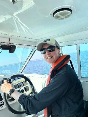
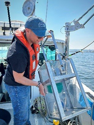
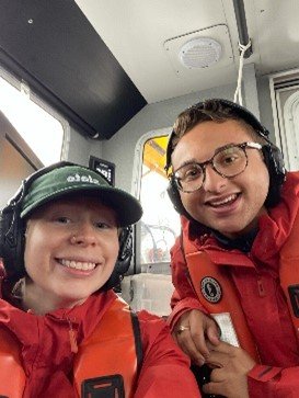


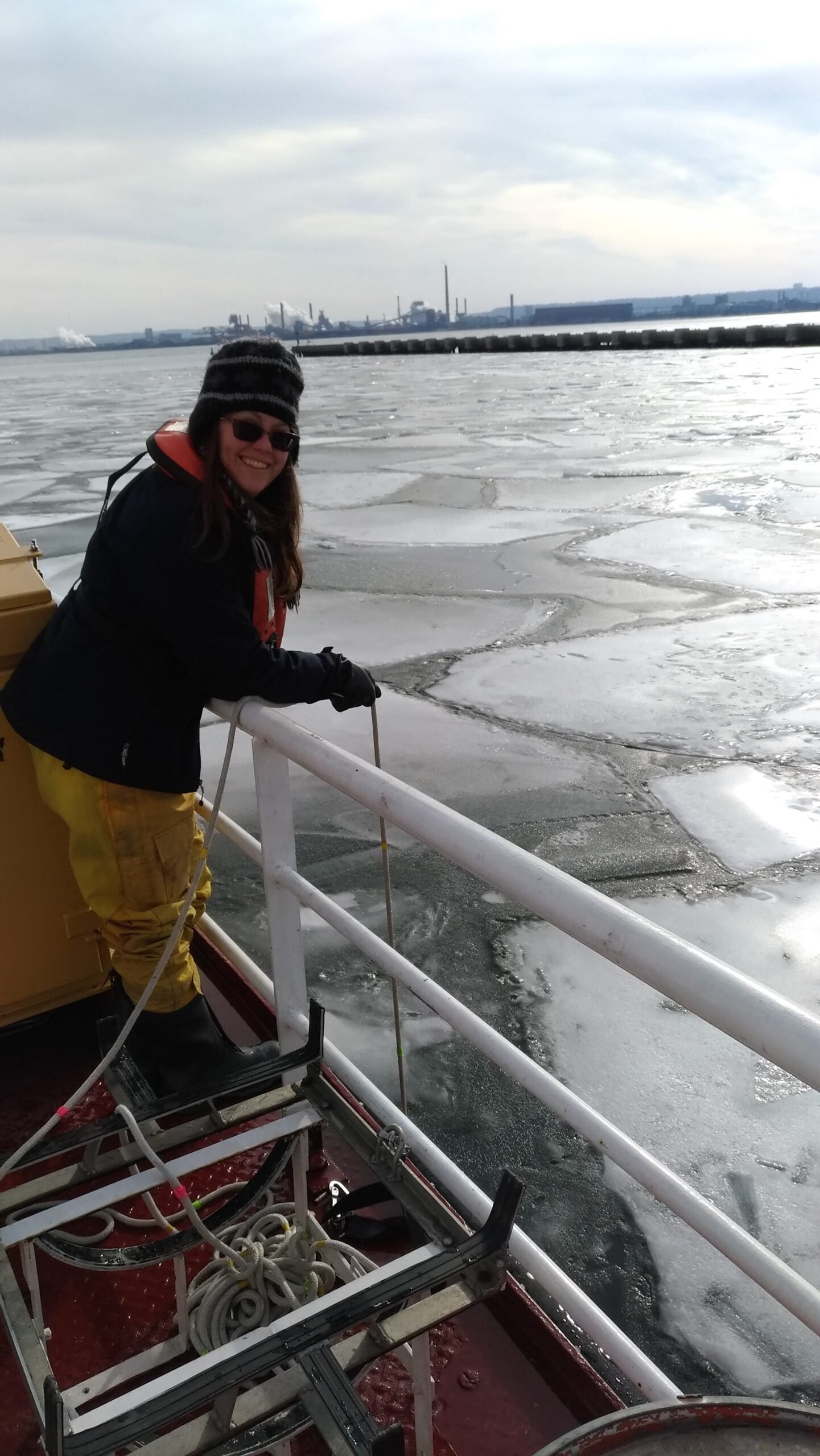


Depending on timing and the duration of field work, we might also drop anchor to enjoy lunch in the sun and waves!

At the last station for the day, all sampling devices and data logging sensors are turned off and the outdoor workstation on the vessel is cleared of sample bottles, rinse water and zooplankton preservative. Tidying up on route back to CCIW allows us to keep sampling materials organized and helps hasten the process of unloading equipment and securing the important data we just collected.

When we do arrive at the docks, we secure the vessel and begin unloading equipment. The water samples collected throughout the day are now ready to be delivered to the lab, where we will begin filtering the samples for chemical analyses, and conducting incubation experiments to determine the overall productivity and bacterial growth rate of the samples!

Lastly, but certainly not least, steps are taken to back-up and digitize all of the data collected in the field. Loose field sheets are scanned and manual measurements (i.e., Secchi disc depths) are tabulated and stored in our database. Data collected from real-time sensors are also extracted by connecting the devices to computers and downloading the data output file (typically Excel spreadsheets). Once all data are downloaded, several measures of quality control (QC) are implemented to ensure the accuracy and quality of the data. Some common QC measures include assessing the data for outliers through various forms of data visualization, calculating the percent error in analyses between replicates of a sample (i.e., between extracted chlorophyll replicates) and ensuring all data that has been digitized has been verified by at least two individuals.
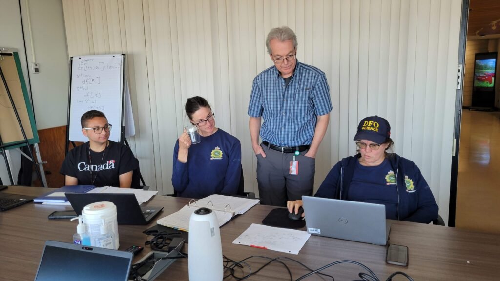
As we have seen, field sampling in the Great Lakes is a complex, multi-step process that extends well beyond gathering data on the water. From careful planning and equipment prep to data collection, processing, and quality control, each stage is essential for producing reliable data. By combining these efforts, our team contributes to valuable research that supports the sustainable management and conservation of these critical freshwater ecosystems.
