Our Projects
More info to come…
Areas of Concern
Hamilton Harbour
In Support of Phytoplankton and Zooplankton Populations and Fish Populations.
General Project Description:
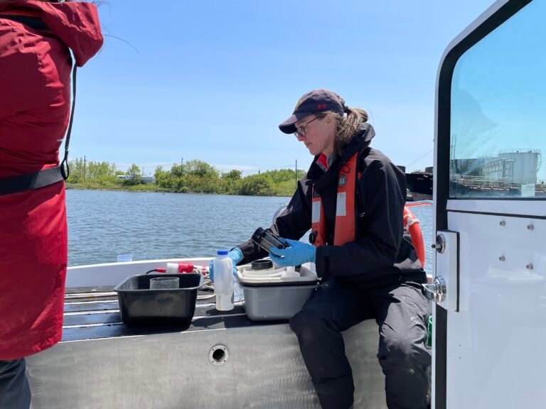
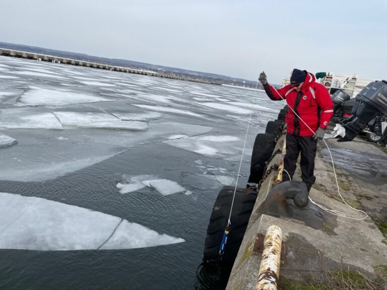
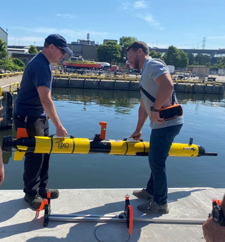
The purpose of this project is to assess the state of plankton food resources for fish populations in the Hamilton AOC and evaluate habitat restoration. This advice will be used by Environment and Climate Change Canada to direct remedial actions and promote restoration. Open water regions were assessed 2002-2016 which recommended that BUI 13, should be listed as Impaired due to excess production not being transferred to fishes in the food web. This is likely due to poor water quality/habitat and phytoplankton composition for pelagic forage fishes due to widespread hypoxia from algal blooms in the Harbour. The food web project initiated in 2019 included a monthly surveys of zooplankton and water properties within the nearshore regions (around Bayfront Park, Grindstone, Lasalle and Windermere Arm) which are the focus of fish habitat restoration and fish tracking, during the May – October season in order to capture temporal and spatial variability as well as standard stations which exhibit seasonal hypoxia from the main harbour. The monthly surveys will continue in 2023-2026 and include continuous spatial measures of algal pigments, high resolution oxygen data, sonde measures and zooplankton biomass, and widespread spatial zooplankton collections which will act as pre and post changes from improvements to stormwater and Woodward wastewater upgrade project which went online in 2022. Limited sampling of Hamilton Harbour sites for phytoplankton and microbial monitoring and primary productivity will continue and the Hamilton Nearshore Offshore Transect outside of the Harbour will be maintained as a reference condition. Sensors will be deployed on new moorings to provide continuous measures comparing these habitat sites with the long-term offshore stations using real-time monitoring buoys. Diel measurements of vertical distribution pelagic fish biomass will be completed to compare to zooplankton biomass to determine ecological mismatch or habitat limitations from hypoxia. Planktivorous fishes important to the food web will be collected for diet analysis in the different sites to determine if there is disruption in the food web due to food availability or other factors.
Lake-wide Monitoring


Lake Ontario, Lake Erie, Lake Huron
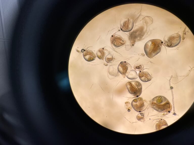
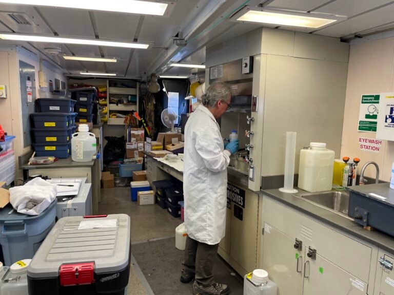
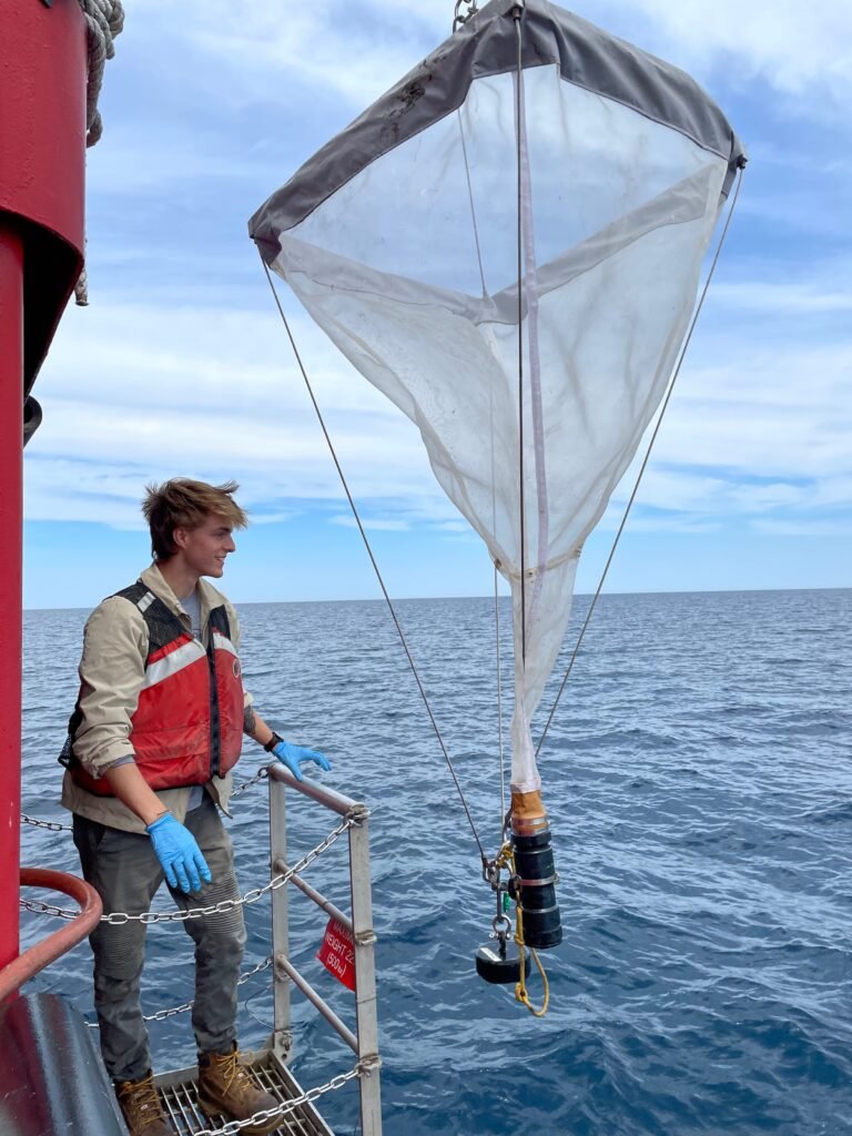
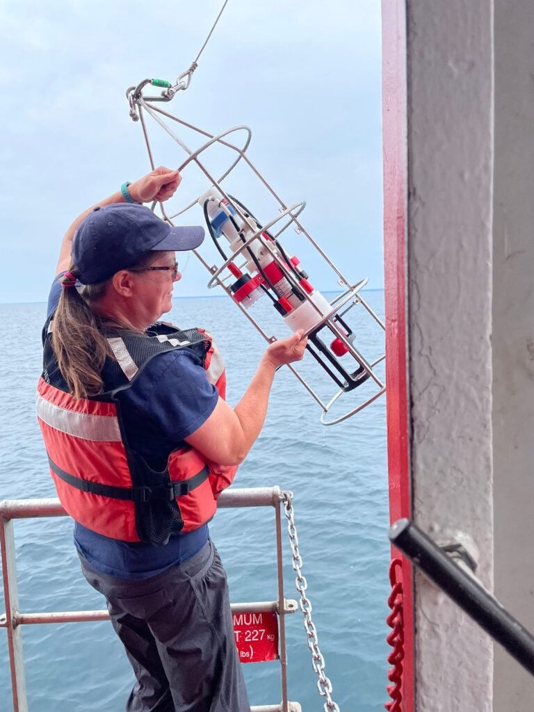
The DFO Lower Trophic food-web lab research and monitoring tracks composition of microbes, phytoplankton, rotifers and zooplankton, and water properties ranging from temperature, clarity and nutrient concentrations. In addition, we do direct measures of bacterial and algal growth rates using 14C radioisotope uptake to estimate primary productivity, and estimate secondary productivity by repeated sampling of zooplankton. We also track key indicator species and ecologically relevant species (including non-native invasive species such as Bythotrephes, the spiny water flea) that can be used to identify impairments to trophic transfer within food-webs.
The Lower Trophic monitoring Lake Ontario involves sampling of key stations every year in support of our responsibilities under the binational Great Lakes Water Quality Agreement. Every fifth year is the Cooperative Science and Monitoring Initiative (CSMI) intensive field-year for Lake Ontario (2013, 2018, 2023) as CSMI cycles through the five Great Lakes, with many more stations and more frequent sampling in cooperation with US science organizations (USEPA, USGS, USFWS among others). Most of our focus is on Lake Ontario, but we also have programs for Lake Erie, Huron and Superior, though often only during the CSMI years. For Lake Ontario, we typically try to sample key stations every year to fill in the time-series in the east and west of the lake.
Our lab has been sampling Station 81 fortnightly (every 2 weeks) between May-Oct in the eastern Kingston Basin in collaboration with the Ontario Ministry of Natural Resources and Forestry since the 1980s. See Bowen et al. 2022 for a detailed analysis of the long-term physical and zooplankton data. MNRF does all the field sampling for this station due to its proximity to the Glenora
Fisheries Station in the Bay of Quinte. They ship the water to us in Burlington for water chemistry and primary productivity measures, and send us the preserved phytoplankton, zooplankton and rotifer samples at the end of the season.
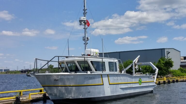
More recently for the 2013 CSMI year, we began sampling paired nearshore-offshore stations in the western basin off Burlington where the Canada Centre for Inland Waters is located. Most of this sampling is completed off our DFO R.V. Cisco. We sample LO2 (at 60 m depth) and BUR (at 7 m depth) at least monthly during the non-CSMI years and fortnightly during the field-intensive
years. This regular sampling throughout the growing season allows us to track productivity and seasonality in a way that lake-wide programs are unable to do.
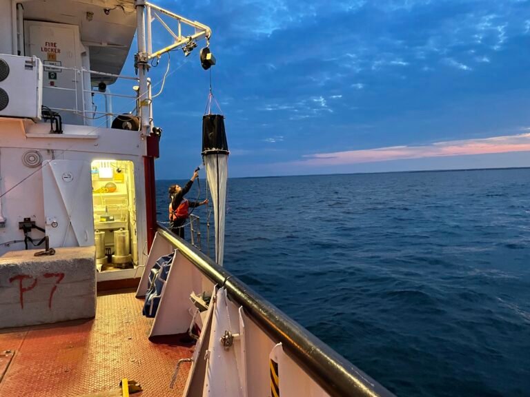
Every year, we partner with Environment and Climate Change Canada (ECCC) to sample the entirety of Lake Ontario in a lake-wide survey in early spring (April) and summer (August) using our research ship CCGS Limnos. ECCC does all the water chemistry and samples contaminants among many other things, while DFO samples microbes, phytoplankton and zooplankton, along with growth measures of phytoplankton and bacteria. This spring and summer snapshot allows us to compare with other years and see what the spatial differences are around the lake.
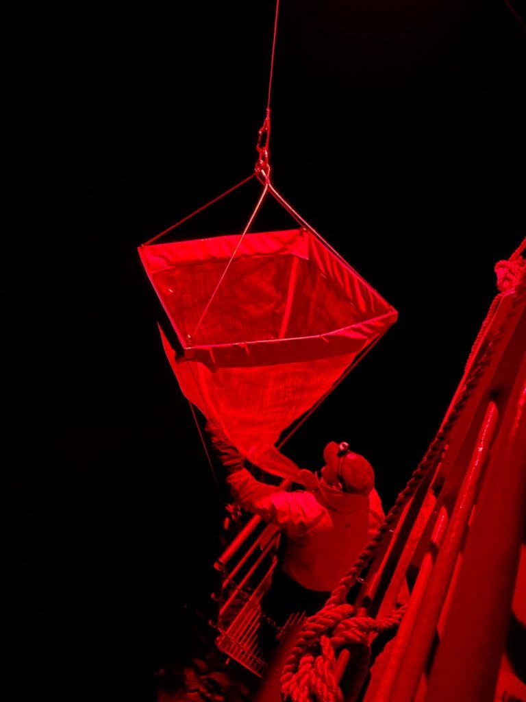
DFO also runs a solo cruise on the Limnos in late-October or early November targeting late-fall zooplankton and the “Mysid Shrimp” (Mysis diluviana) which is an important food for forage fishes in the Great Lakes. This sampling requires the larger ship CCGS Limnos because Mysis sampling must occur at night under red-lights (Mysis are photosensitive and avoid surface lights), and weather on Lake Ontario in the late fall is uncertain at best!
